Alaska · National Preserve
Noatak
Our time was abbreviated. The scale of the river was not.
A river basin intact
Noatak National Preserve protects a river that still determines its own course.
The Noatak flows without dams, diversions, or engineered channels. It begins in Gates of the Arctic National Park, crosses the Brooks Range and the preserve, and travels west toward Kotzebue Sound. The National Park Service describes it as the longest free flowing river in the United States and part of the nation’s largest mountain ringed river basin.
NPS: The Noatak River ↗Source to sea
One river connects the parklands
The Noatak rises to the east in Gates of the Arctic. It flows west with Cape Krusenstern near its lower reaches and Kobuk Valley across the mountains to the south. Kotzebue sits beyond the river’s delta on Kotzebue Sound.
At the coast, the river does more than empty into the sea. It delivers freshwater and sediment that build mudflats and marshes. Nutrients carried into those shallow waters support invertebrates, young fish, salmon, and migrating birds. The river basin and coastal ecosystem remain parts of one living system.
View the detailed NPS regional map ↗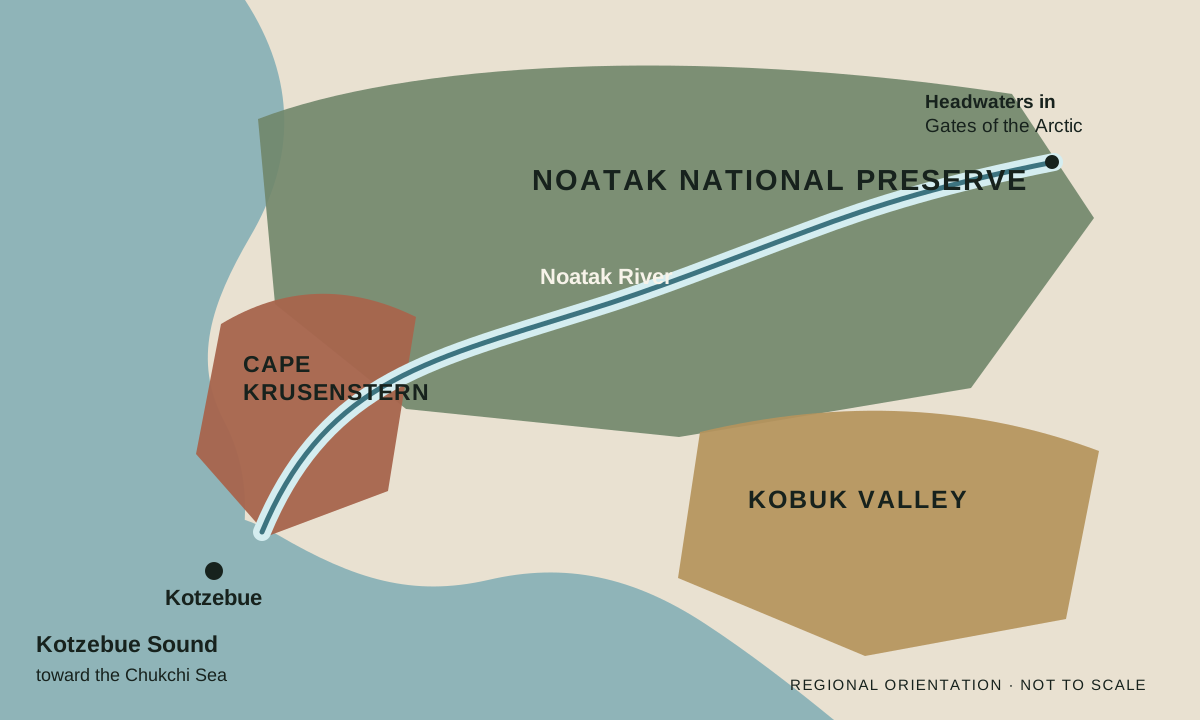
On the riverbank
Majesty without duration
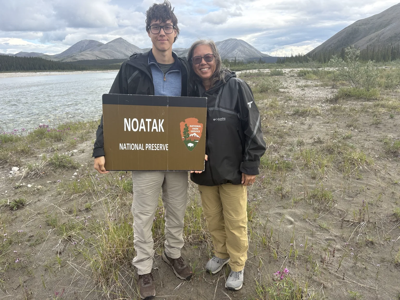
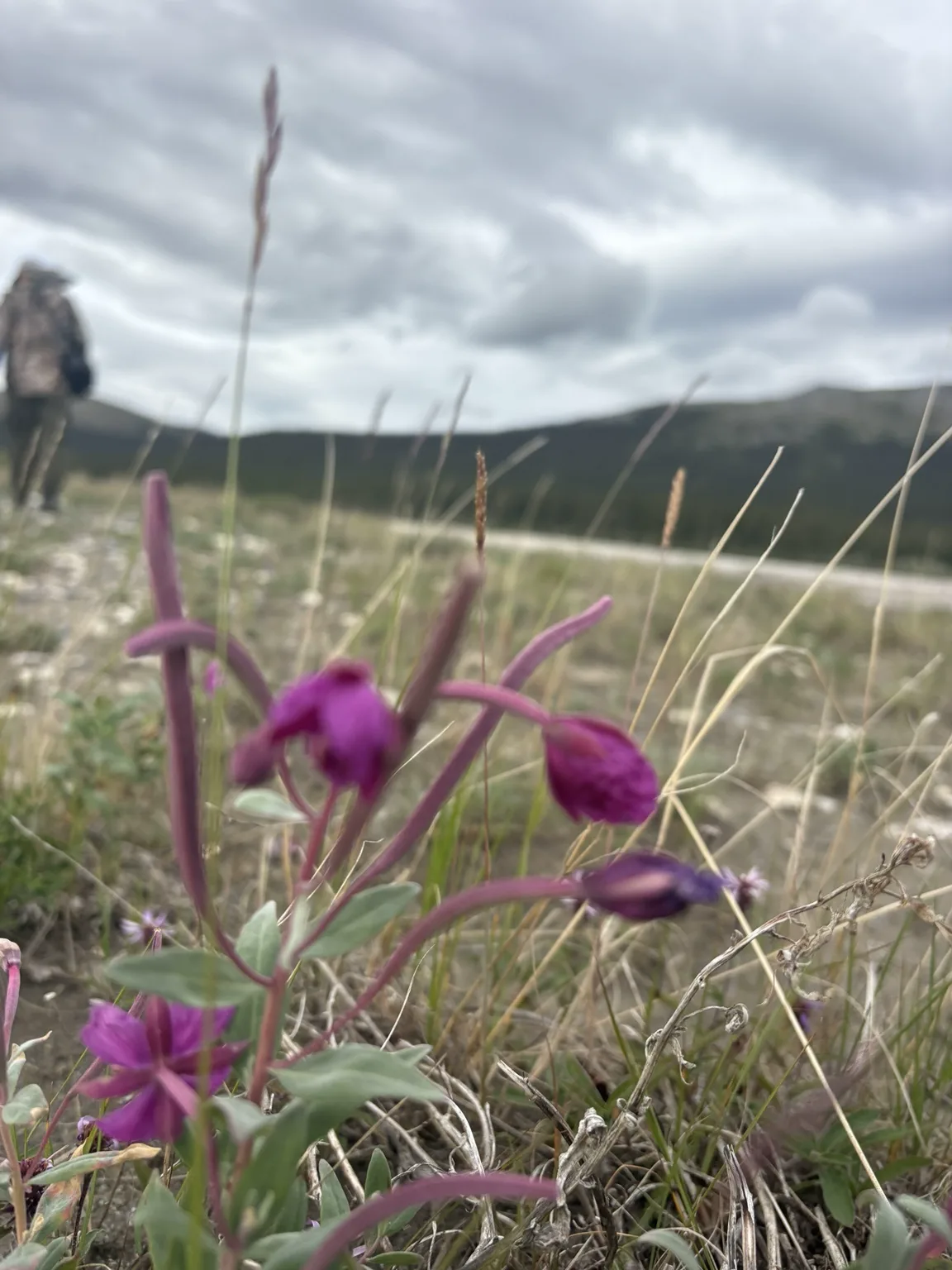
The water was pale blue and clear over the stones. Gray mountains rose beyond the spruce, and small flowers held color close to the ground. There was no built overlook telling us where to stand. The gravel bar itself was the landing place.
We did not need a long visit for the landscape to feel immense. The river carried the scale of the mountains into motion.
The safe window
Leaving between gusts
A squall was moving toward us with high winds. Because we had landed beside the river, the pilot needed enough room and visibility to climb out through the surrounding terrain. Our time on the ground ended quickly.
We boarded and waited for the opening. The plane climbed between gusts, carrying us above the braided river and bare gray slopes. The departure was not separate from the visit. It revealed what remoteness meant: weather could close the route, and the itinerary remained secondary to the conditions.
A homeland connected by water
The river is also a route
The Noatak basin is the homeland of the Nuataaġmiut. For generations, people traveled between the upper river, its lower valley, Cape Krusenstern, and the coast of Kotzebue Sound according to fishing, hunting, trade, and the movement of caribou.
Those relationships continue. Chum salmon move upriver. Families maintain fish camps along the river and coast. The Western Arctic Caribou Herd crosses the Noatak during its migrations. What appears on a map as a boundary between park units is crossed repeatedly by water, animals, and people.
NPS: subsistence and the Noatak ↗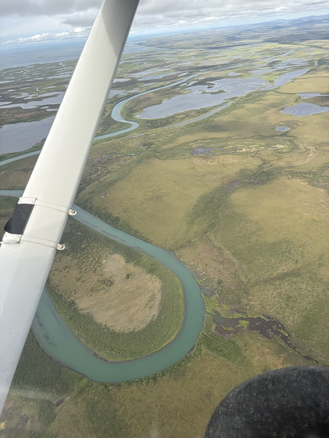
From above
The river was not a line through the land. It gathered the land.
Tributaries, lakes, wetlands, gravel bars, and tundra all leaned toward the same movement west.
Robbie’s field notes
What changed when the weather did?
This space remains open for Robbie’s account of the river, the short landing, and the climb out through the wind.
Planning the journey
Traveling into the Western Arctic
Practical notes on bush flights, weather, lodging, food, and moving respectfully through these roadless parklands are being prepared.
Western Arctic field guide · Coming soon